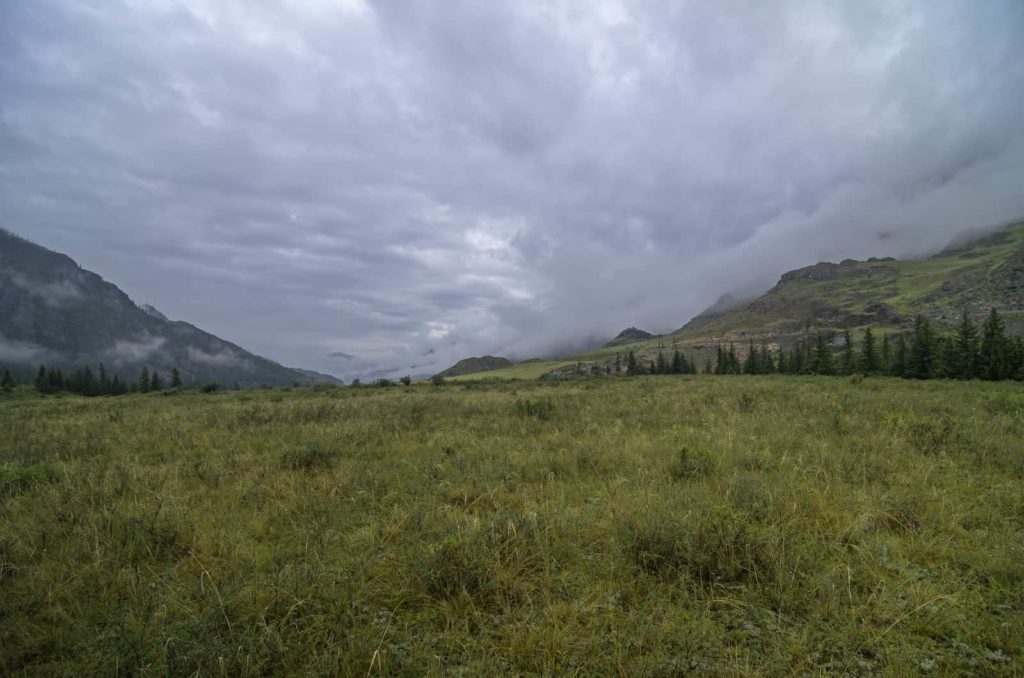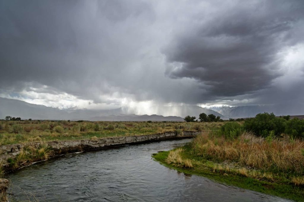

See Gallery of Clouds Below
Clouds often indicate weather changes.
The source of clouds is water that evaporates into the air. The water can come from oceans, lakes, and rivers. Plants also give off water vapor.
Clouds form when water vapor cools and condenses. Condensed water droplets ride air currents as clouds.
Water droplets riding air currents may (1) simply ride along; (2) rise and freeze turning into ice crystals; (3) collide with other droplets to form larger drops that become heavy enough to fall to the ground as rain or sleet.
Clouds are constantly moving and constantly forming new combinations. The clouds you see in the sky at this moment may change into different clouds in a few minutes or a few hours.
To describe and name clouds, we look at their shape and altitude or their altitude and shape.
Here are some cloud descriptor basics:
There are three key types of clouds:
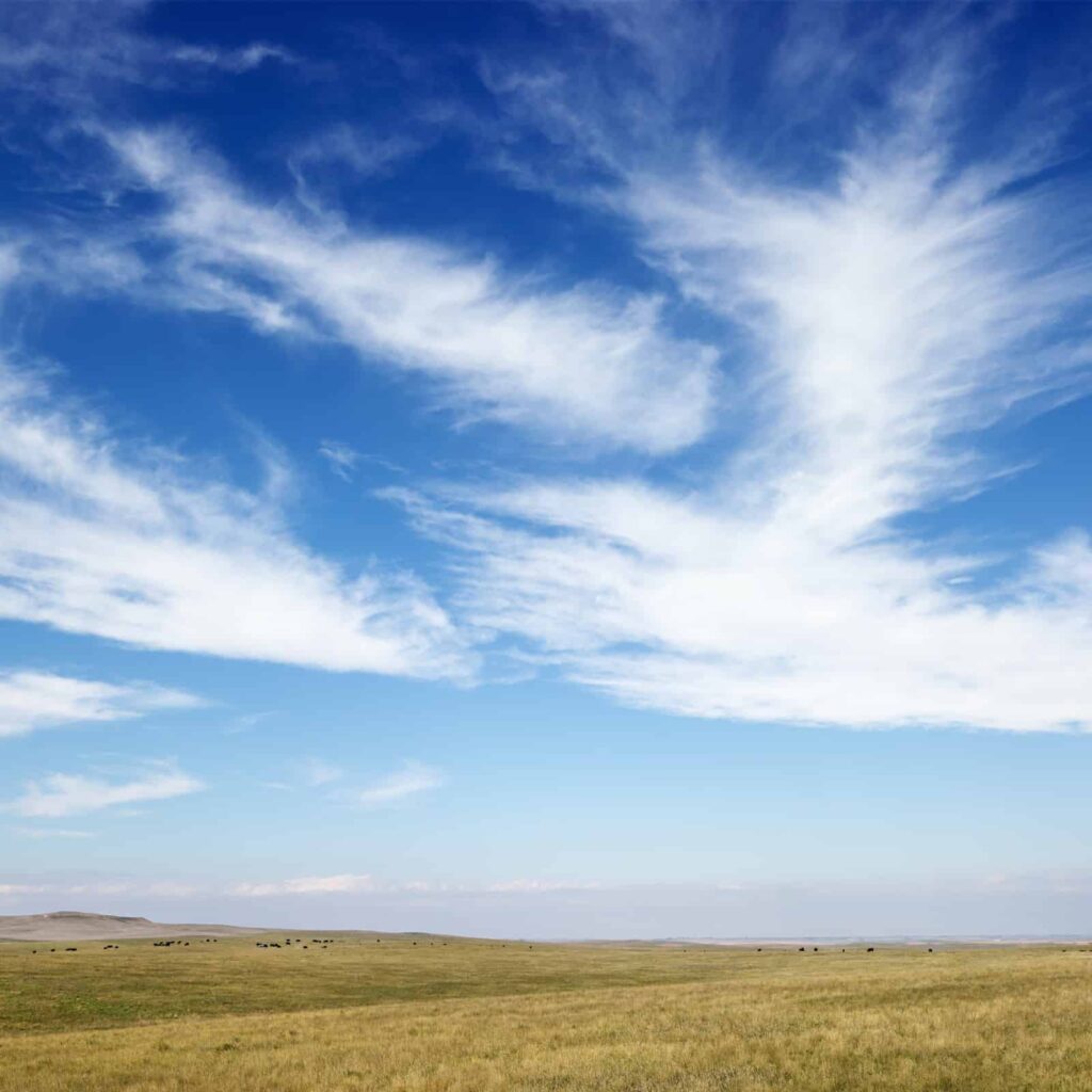
- Cirrus clouds which are wispy and curl-like and are high in the sky.
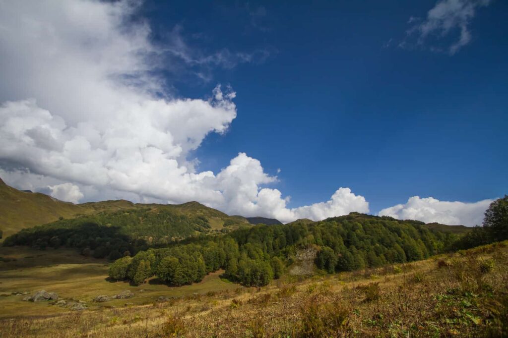
- Cumulus clouds which appear puffy and heaped-up—these clouds can be white or they can have yellowish tops and black undersides; these clouds are slightly lower than mid-level in the sky.
- Stratus clouds which are appear as a dull, flat horizontal layer–like a veil; these clouds are low in the sky but do not touch the ground.
When talking about clouds, there are two other common references:
- Nimbus which means rain cloud; a nimbus cloud has rain falling from it.
- Alto which refers to the middle regions of the sky.
Additionally, clouds are classed by altitude:
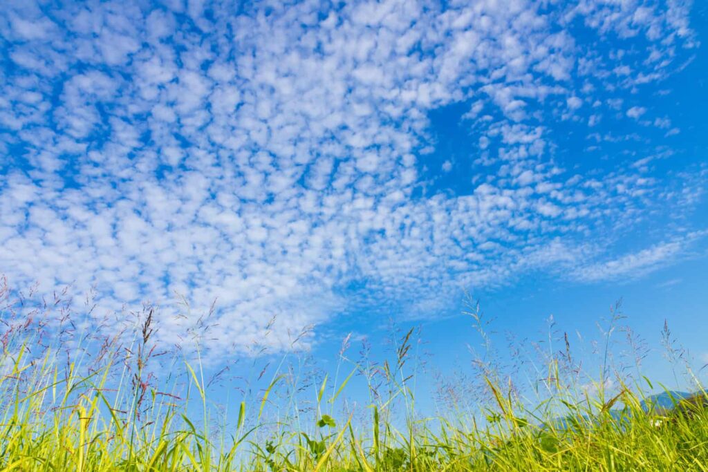
- High clouds form at 20,000 to 50,000 feet. High clouds are thin because there is little moisture in the air at high altitudes. High clouds are: Cirrus clouds—which are wispy and Cirrocumulus clouds—which are wispy and a bit heaped up.
- Middle or medium clouds form at 7,000 to 20,000 feet. Medium clouds are ever moving, they change in shape and color as they move from one level to another. Altostratus clouds are middle, layered clouds. Altocumulus clouds are middle, heaped up clouds. Altostratus clouds often turn into Nimbostratus clouds—layered rain clouds. Middle clouds often have pale gray undersides. The sun and moon are always visible through middle clouds—but their outlines may be dim or indistinct.
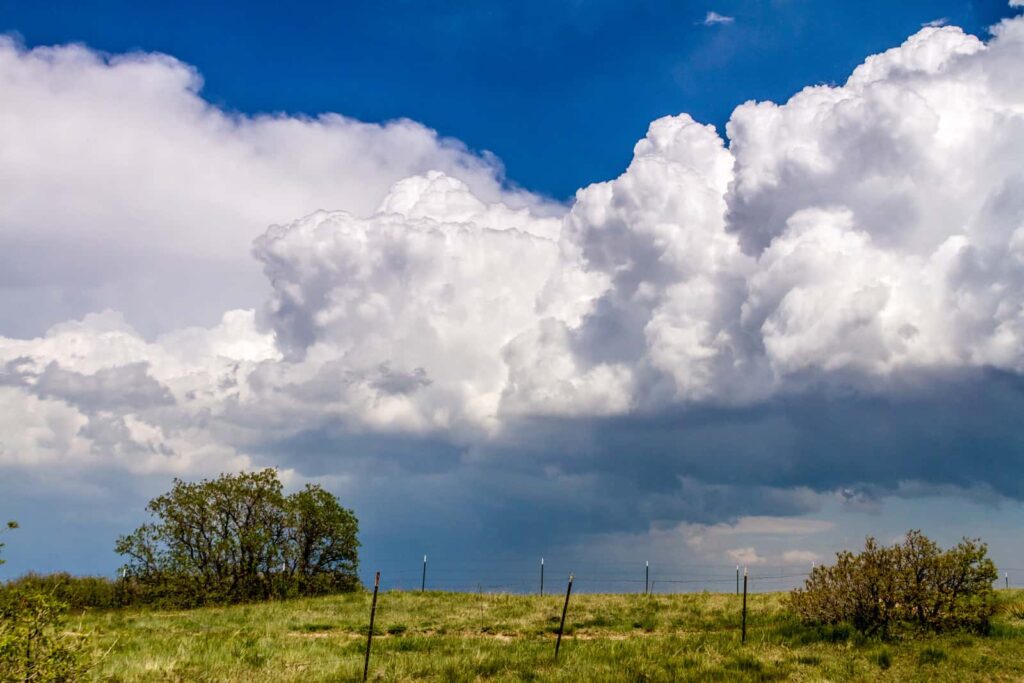
- Low clouds form from the ground to 7,000 feet. Low clouds include Cumulus clouds which appear heaped up, Stratus clouds which are layered, Cumulonimbus clouds which are heaped-up dark rain clouds, and Nimbostratus clouds which are dark rain-clouds that are layered. Low clouds can have dark undersides and usually obscure the sun or moon.
Clouds do not form above a height of about 50,000 feet, where the stratosphere begins and all moisture has already been exhausted at lower altitudes.
Clouds and the Weather:
Looking at clouds is one way to predict the weather. Clouds are ever changing so you may need to look at the sky more than once to know what weather is coming.
To predict the weather look at: (1) the altitude clouds are forming at, and (2) the color of the clouds—as greater amounts of water accumulate in a cloud, the cloud becomes denser and darker; as water droplets aggregate they will likely fall to the ground as rain, sleet, or snow.
So here are clouds to know from high to low:
- Cirrus clouds are high in the sky, delicate and wispy usually consisting of minute swashes of ice crystals (the temperature at 30,000 feet is -48°F /-44°C if the temperature at ground level is 59°F/15°C). Very high clouds are always cirrus clouds.
- Cirrocumulus clouds are high in the sky, curl-like or heaped up; these clouds usually mean fair weather.
- Altostratus clouds are mid-level in the sky, layered or striped clouds looking like frosted glass; these clouds usually mean light rain.
- Altocumulus clouds are mid-level in the sky, heaped up forming puffy patches or parallel bands; these clouds often mean rain.
- Cumulonimbus clouds are low in the sky thunderheads with anvil-like tops and ragged edges; these clouds mean a storm is near; thunder and lightning commonly accompany cumulonimbus clouds.
- Cumulus clouds are low in the sky puffy, heaped-up; these clouds mean fair weather.
- Nimbostratus clouds are low in the sky, rumpled, dark sheets of cloud; these clouds produce rain or snow.
- Stratus clouds are low in the sky but do not touch the ground; these clouds are like a fog overhead and they may produce a drizzle.
With a bit of practice, you can read clouds and predict the weather.
Gallery of Clouds: